Tag: Rock Creek DC
Wikipedia says: Rock Creek is a free-flowing tributary of the Potomac River that empties into the Atlantic Ocean via the Chesapeake Bay. The 32.6-mile (52.5 km) creek drains about 76.5 square miles (198 km2). Its final quarter-mile (400 m) is affected by tides.
The creek rises from a culvert under Dorsey Road at the north edge of Laytonsville Golf Course in Montgomery County, Maryland. A dam forms a small lake near its source. After exiting the golf course, Rock Creek flows between residential developments until it meets Agricultural History Farm Park, where the Upper Rock Creek Trail starts. It flows underneath the Intercounty Connector, which crosses it on a large arch bridge visible from the trail.
It then flows into Lake Needwood at Rock Creek Regional Park in Maryland’s Derwood–Rockville area. South of the Lake Needwood Dam, Rock Creek flows in a deep gorge and is paralleled by the main Rock Creek Trail, and is joined by the North Branch Rock Creek. It exits the gorge near the Twinbrook neighborhood of Rockville and the Parklawn Memorial Cemetery.
At North Kensington, Beach Drive begins to parallel the creek. The creek eventually crosses the Capital Beltway and later reaches the Washington, D.C., border.
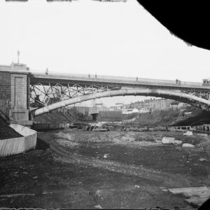
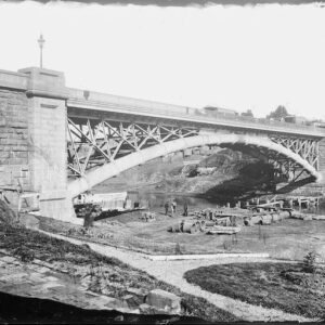
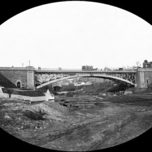
The creek flows for about 9 miles (14 km) through Rock Creek Park in Washington, where it is fed by several small creeks (Piney Branch, Pinehurst Branch, Broad Branch, Soapstone Branch, and Luzon Branch) and numerous storm sewers.
The Chesapeake and Ohio Canal joins Rock Creek in Georgetown; the creek’s mouth is the canal’s eastern terminus. Just below this confluence, the Canal Company in 1831 completed a mole, causeway, and waste weir. This area, which the company dubbed “Rock Creek Basin”, silted up and was dredged several times for the Canal’s use. The creek (and the canal) empty into the Potomac River at the Tidewater Lock near the Watergate complex.
Watershed
The Maryland portion of the watershed comprises the second-largest watershed in Montgomery County, about 60 sq mi (160 km2). About 21 percent of the creek’s watershed is in Washington. Total land usage in the watershed is 896 acres (3.63 km2) of wetlands or water, 22,272 acres (90.13 km2) of residential and commercial areas, 15,488 acres (62.68 km2) of forest or grasslands, and 10,304 acres (41.70 km2) of agricultural areas. The creek has a fairly steep gradient, with rapid changes in elevation. The man-made Lake Needwood is located on the creek, north of Rockville.