Tag: Potomac River
Wikipedia says: The Potomac River is found within the Mid-Atlantic region of the United States and flows from the Potomac Highlands into the Chesapeake Bay. The river (main stem and North Branch) is approximately 405 miles (652 km) long, with a drainage area of about 14,700 square miles (38,000 km2). In terms of area, this makes the Potomac River the fourth largest river along the East Coast of the United States and the 21st largest in the United States. Over 5 million people live within the Potomac watershed.
The river forms part of the borders between Maryland and Washington, D.C., on the left descending bank and West Virginia and Virginia on the river’s right descending bank. The majority of the lower Potomac River is part of Maryland. Exceptions include a small tidal portion within the District of Columbia and the border with Virginia being delineated from “point to point” (thus various bays and shoreline indentations lie in Virginia). Except for a small portion of its headwaters in West Virginia, the North Branch Potomac River is considered part of Maryland to the low-water mark on the opposite bank. The South Branch Potomac River lies completely within the state of West Virginia except for its headwaters, which lie in Virginia.
“Potomac” is a European spelling of Patawomeck, the Algonquian name of a Native American village on its southern bank.[10] Native Americans had different names for different parts of the river, calling the river above Great Falls Cohongarooton, meaning “honking geese” and “Patawomke” below the Falls, meaning “river of swans”. In 1608, Captain John Smith explored the river now known as the Potomac and made drawings of his observations which were later compiled into a map and published in London in 1612. This detail from that map shows his rendition of the river that the local tribes had told him was called the “Patawomeck”. The spelling of the name has taken many forms over the years from “Patawomeck” (as on Captain John Smith’s map) to “Patomake”, “Patowmack”, and numerous other variations in the 18th century and now “Potomac”. The river’s name was officially decided upon as “Potomac” by the Board on Geographic Names in 1931.
The similarity of the name to the Ancient Greek word for river, potamos, has been noted for more than two centuries but it appears due to chance.
The Potomac River brings together a variety of cultures throughout the watershed from the coal miners of upstream West Virginia to the urban residents of the nation’s capital and, along the lower Potomac, the watermen of Virginia’s Northern Neck.
Being situated in an area rich in American history and American heritage has led to the Potomac being nicknamed “the Nation’s River.” George Washington, the first President of the United States, was born in, surveyed, and spent most of his life within, the Potomac basin. All of Washington, D.C., the nation’s capital city, also lies within the watershed. The 1859 siege of Harper’s Ferry at the river’s confluence with the Shenandoah was a precursor to numerous epic battles of the American Civil War in and around the Potomac and its tributaries, such as the 1861 Battle of Ball’s Bluff and the 1862 Battle of Shepherdstown.
General Robert E. Lee crossed the river, thereby invading the North and threatening Washington, D.C., twice in campaigns climaxing in the battles of Antietam (September 17, 1862) and Gettysburg (July 1–3, 1863). Confederate General Jubal Early crossed the river in July 1864 on his attempted raid on the nation’s capital. The river not only divided the Union from the Confederacy, but also gave name to the Union’s largest army, the Army of the Potomac. The Patowmack Canal was intended by George Washington to connect the Tidewater region near Georgetown with Cumberland, Maryland. Started in 1785 on the Virginia side of the river, it was not completed until 1802. Financial troubles led to the closure of the canal in 1830. The Chesapeake and Ohio Canal operated along the banks of the Potomac in Maryland from 1831 to 1924 and also connected Cumberland to Washington, D.C. This allowed freight to be transported around the rapids known as the Great Falls of the Potomac River, as well as many other, smaller rapids.
Washington, D.C. began using the Potomac as its principal source of drinking water with the opening of the Washington Aqueduct in 1864, using a water intake constructed at Great Falls.
Showing 1–16 of 246 results
-
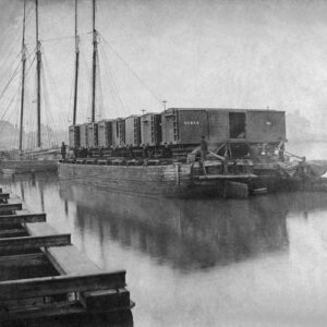
Image ID: AAAA
$5.99 -
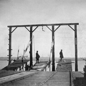
Image ID: AAAB
$5.99 -
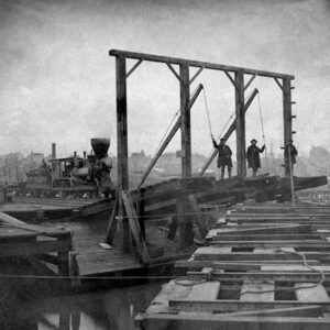
Image ID: AAAC
$5.99 -
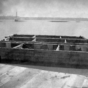
Image ID: AAAD
$5.99 -
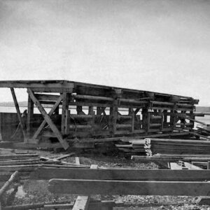
Image ID: AAAE
$5.99 -
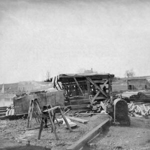
Image ID: AAAF
$5.99 -
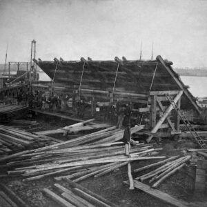
Image ID: AAAG
$5.99 -
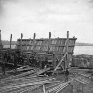
Image ID: AAAH
$5.99 -
Image ID: AAAJ
$5.99 -
Image ID: AAAN
$8.99 -
Image ID: AAAR
$5.99 -
Image ID: AAAS
$5.99 -
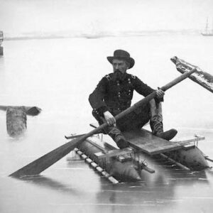
Image ID: AAAV
$5.99 -
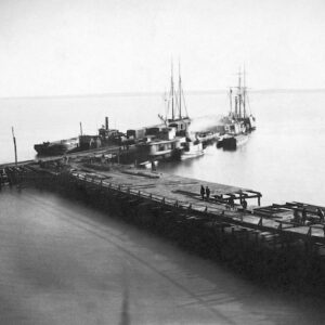
Image ID: AAAW
$5.99 -
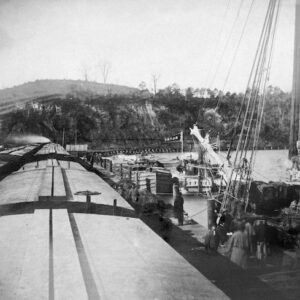
Image ID: AAAX
$5.99 -
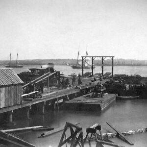
Image ID: AABI
$5.99