Tag: South Battery (Charleston SC)
Wikipedia says: The Battery is a landmark defensive seawall and promenade in Charleston, South Carolina. Named for a civil-war coastal defense artillery battery at the site, it stretches along the lower shores of the Charleston peninsula, bordered by the Ashley and Cooper Rivers, which meet here to form Charleston harbor.
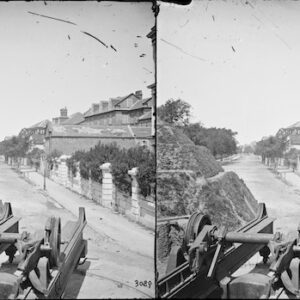
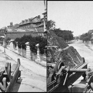
Historically, it has been understood to extend from the beginning of the seawall at the site of the former Omar Shrine Temple (40-44 East Bay Street) to the intersection of what is now Murray Boulevard and King Street. The higher part of the promenade, paralleling East Battery, as the street is known south of Water Street, to the intersection of Murray Boulevard, is known as High Battery. Fort Sumter is visible from the Cooper River side (High Battery) and from the point, as are Castle Pinckney, Fort Moultrie, and Sullivan’s Island.
History
Fort Broughton (ca. 1735) and Fort Wilkins (during the American Revolution and War of 1812) occupied White or Oyster Point, so named because of the piles of bleached oyster shells on the point at the tip of the peninsula. In the 18th century, rocks and heavy materials were used to fortify the shore of the Cooper River on the eastern side of the peninsula. In 1838, this area along the seawall became a promenade. First used as a public park in 1837, the area now known as White Point Garden became a place for artillery during the American Civil War.
Colleton Bastion was located near the intersection of Water and Meeting Streets. During the Siege of Charleston, the British had to contend with Fort Johnson, Broughton’s Battery, Dorrell’s Fort, Wilkins’ Fort, and Gibbs’ Fort (at the foot of King Street). During the Quasi-War Fort Mechanic (ca. 1795) stood where the current Edmondston-Alston House is now located. During the Civil War, Battery Ramsay occupied White Point Garden.